Rename:
According to the english wiki article about the city:
The Gauls named the settlement Ratumacos
So maybe this is a better name than the modern Rouen. Perhaps someone who speaks french can also find a gallic name for the river, rather than a latin one.
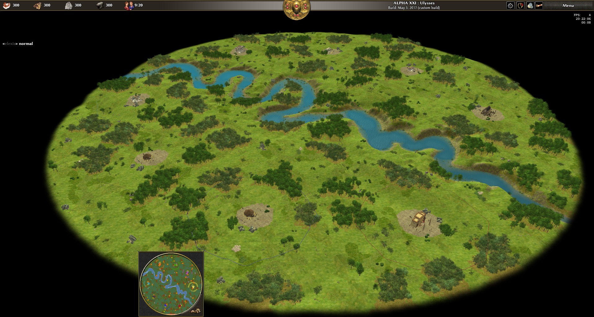
Circular Map:
Square maps should be avoided where possible. So let's start with the Rouen map, because all four corners of the provided heightmap are uninteresting ballast, so we can safely cut them off.
The starting positions have to be adapted though. This was done by starting atlas editor, deleting all trees by selecting them with Alt+doubleclick and pressing the delete button,
then placing civic centers so that their territory boundaries are equally spaces. Notice this resembles the radial placement, but we can't use the generic radial placement algorithm, as that doesn't consider the river.
While at it, reduce the number of trees slightly.